Ordnance Survey Ireland

Results: 152


#Item
11Microsoft Word - OP-Ops-Manager.docx

Microsoft Word - OP-Ops-Manager.docx

Add to Reading List

Source URL: osniponca.com

Language: English - Date: 2016-07-15 13:48:27
12THE FOUNDATION OF A GEOGRAPHICAL INFORMATION SYSTEM FOR NORTHERN IRELAND M J D BRAND BA FRICS ORDNANCE SURVEY OF NORTHERN IRELAND DEPARTMENT OF THE ENVIRONMENT (NI) COLBY HOUSE STRANMILLIS COURT

THE FOUNDATION OF A GEOGRAPHICAL INFORMATION SYSTEM FOR NORTHERN IRELAND M J D BRAND BA FRICS ORDNANCE SURVEY OF NORTHERN IRELAND DEPARTMENT OF THE ENVIRONMENT (NI) COLBY HOUSE STRANMILLIS COURT

Add to Reading List

Source URL: mapcontext.com

Language: English - Date: 2008-08-30 01:29:39
13The Irish Grid  A Description of the Co-ordinate Reference System used in Ireland Published by the Director, Ordnance Survey of Ireland ã Government of Ireland 1996

The Irish Grid A Description of the Co-ordinate Reference System used in Ireland Published by the Director, Ordnance Survey of Ireland ã Government of Ireland 1996

Add to Reading List

Source URL: www.osi.ie

Language: English - Date: 2015-07-08 06:31:16
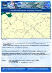
14National Mapping Agency  Large Scale Data 1:5,000 Scale Data  1:5,000 scale data of rural areas in vector and raster format

National Mapping Agency Large Scale Data 1:5,000 Scale Data 1:5,000 scale data of rural areas in vector and raster format

Add to Reading List

Source URL: www.osi.ie

Language: English - Date: 2015-05-15 04:24:52
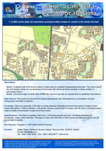
15National Mapping Agency  Large Scale Data 1:2,500 Scale Data  1:2,500 scale data of suburban and periurban areas in vector and raster format

National Mapping Agency Large Scale Data 1:2,500 Scale Data 1:2,500 scale data of suburban and periurban areas in vector and raster format

Add to Reading List

Source URL: www.osi.ie

Language: English - Date: 2015-05-15 04:24:21
16Ordnance Survey Ireland Research Policy Initiative 1  Contents

Ordnance Survey Ireland Research Policy Initiative 1 Contents

Add to Reading List

Source URL: www.osi.ie

Language: English - Date: 2016-05-17 04:58:47
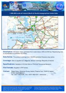
17Digi Ireland  National Mapping Agency 1:600,000 Scale Data

Digi Ireland National Mapping Agency 1:600,000 Scale Data

Add to Reading List

Source URL: www.osi.ie

Language: English - Date: 2015-05-15 04:46:38
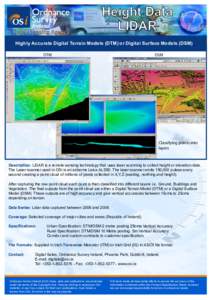
18National Mapping Agency  Height Data LIDAR  Highly Accurate Digital Terrain Models (DTM) or Digital Surface Models (DSM)

National Mapping Agency Height Data LIDAR Highly Accurate Digital Terrain Models (DTM) or Digital Surface Models (DSM)

Add to Reading List

Source URL: www.osi.ie

Language: English
19Copyright Permits - CP1 Introduction Licence Fees  Permission to make reproductions of or from Royalty fees are determined by the area and scale

Copyright Permits - CP1 Introduction Licence Fees Permission to make reproductions of or from Royalty fees are determined by the area and scale

Add to Reading List

Source URL: www.osi.ie

Language: English - Date: 2015-04-28 08:34:40
20Reference No:  County Council:

Reference No: County Council:

Add to Reading List

Source URL: shop.osi.ie

Language: English - Date: 2008-09-12 07:10:38